Getting to Camp
Cedar is a large lake and when the wind picks up it can become very challenging. Fortunately, this wasn't an issue today. We headed out in relatively flat conditions and even had a slight tail wind.
We spent a bit of time getting the canoe loaded and working out where everyone would sit. We settled on William in the bow and Katherine sitting on a duffel bag in the middle. This left a pocket behind Katherine where we put most of our stuff. We made small tweaks to some bag locations, but this was mostly the setup we used for the entire trip. We did a short experiment with the kids in opposite locations, but they both preferred the original layout.
We had a lot of fun paddling together in our loaded canoe. The person in the middle gets a comfortable seat (our sleeping bags are in the duffel-chair), but has to reach further to paddle so it balances out. With all the paddling we were doing, some strokes inevitably go awry. Katherine in particular wanted to point out that this sometimes led to inadvertent splashing.
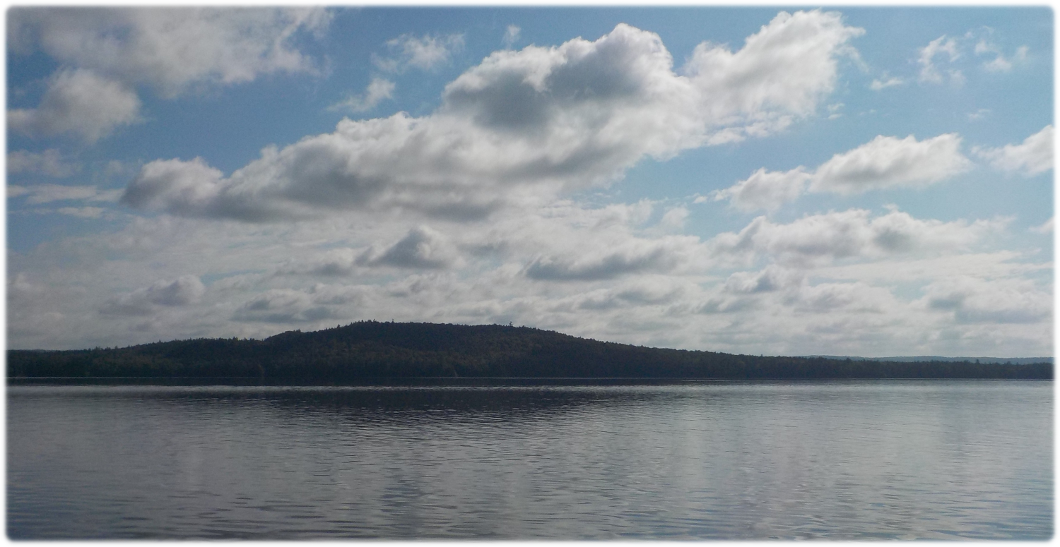
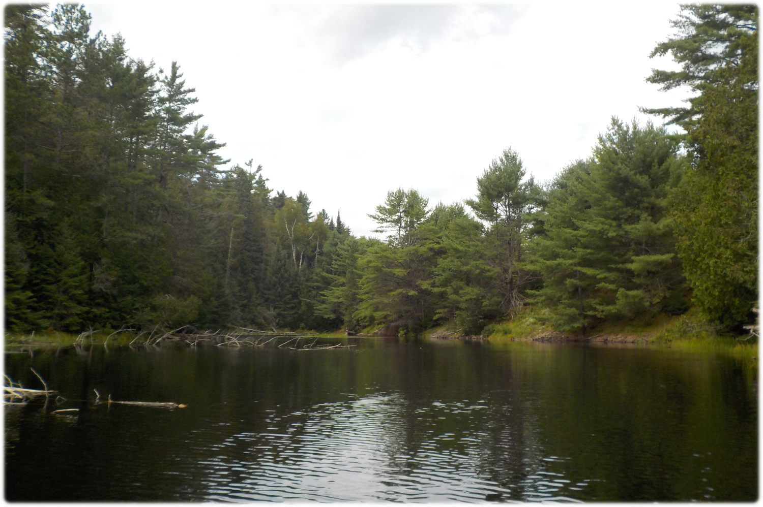
It was a really nice day for our trip up the lake. The previous year William and I did a short trip to the east end of the lake but this was our first time seeing the west end. There were more drive-up campsites than I expected to see, and we also saw several cottages, maybe 6 - 12 in total spread along the north shore. It was a really nice area.
Gilmour Island
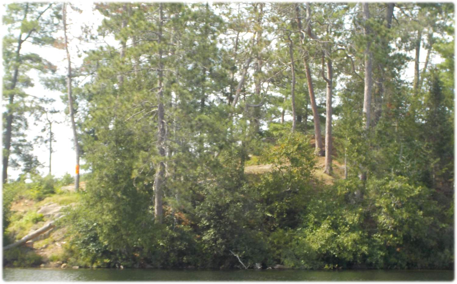
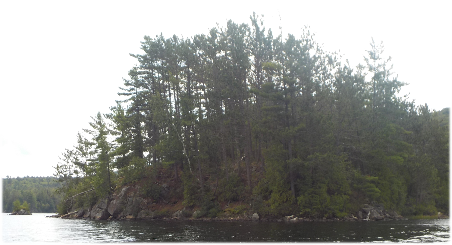
It took a little over an hour to get to Gilmour Island in the west end of the lake. The island has a nice looking cabin/cottage, which is privately owned, so don't try to stop for a picnic. I have since learned that it was owned by the parents of Ann Sinclair. It may still be owned by the family, my information is from the Algonquin Park Archives, from fifty or more years ago. See the description of Bug Lake on Day Four for details of our unexpected connection during this trip.
It didn't look like anyone was home, but we kept a respectable distance from the island anyhow. As we canoed by, we saw two muskoka chairs setup for sunrise. On the way home we noticed two other chairs setup for sunset on a different shore.
Our Techniques for Paddling in Various Conditions
When we got around the island, our predominant tailwind was mixed with a wind coming from the North, which caused unexpectedly rough conditions. It was still only slight waves, but they were coming from all directions.
This was an opportunity for us to come up with a description of various conditions, and what they mean for us. We decided on a colour-coded system:
- Green: Things are fine, we are close to shore or conditions are safe.
- Yellow: Things would be fine, but weather has complicated things. E.g., we're in windy conditions, but are close to shore.
- Red: We plan ahead to avoid this state, things are dangerous and we are far from shore.
Our normal padding rule is that anyone can take a break whenever they want, for as long as they want. I wanted to make sure that no one was overdoing it, because it is easier to stay in a good mood then to recover after getting tired out. Also, this prevents arguments about who is doing more.
What we decided though is that when we get into a yellow condition, we all need to paddle for about five minutes to get back to a green state.
In practical terms, our green conditions turned to yellow after we got around the island. We all paddled to get across the bay and then started to look for a lunch location.
Lunch
It was about noon when we got past the island so we pulled into a campsite on the north shore for our lunch. The site was nicely laid out, and would probably be relatively protected from wind. Lunch was pre-made sandwiches and some of our trail mix snack.
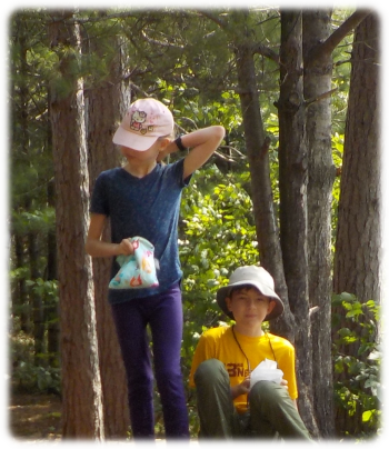
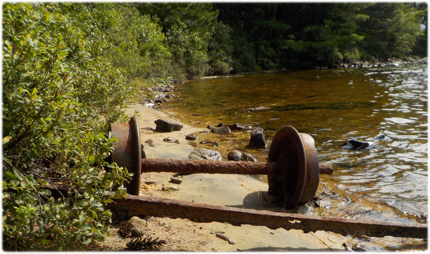
After eating the kids had a quick explore to check out the rest of the site. The old railroad passed not too far away and the site has some interesting artifacts rusting on the shore. There were old train wheels, and also a piece of metal which had been setup as a wind break. Maybe the site is not as wind-protected as I assumed.
Katherine accidentally dropped some snack as we were packing up, so there were nuts, etc. left on the beach. It was all just food that would decompose, but I didn't like leaving it right where anyone arriving would encounter, so we buried it as best we could. Even on access lakes, it is nice to have a feeling of wilderness when arriving at a site.
As we left a couple pulled in for their lunch. We had a short chat about eating lunch, etc. They wanted to make sure we weren't using the site before they pulled in. We said we were done and that it has been a nice lunch stop for us. I was thinking at the time that I should have double checked our burying results. Hopefully they weren't put off by too much "human stuff" on arrival.
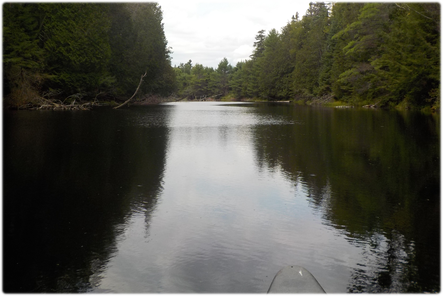
Up the Creek
There is a second campsite in the same area, this one on an island. From photos of other people's trips, I think there is an old chimney on this site, but we forgot to check on the way by.
One job for the bow-child is to keep a lookout for deadheads and other things that we might hit. This job sometimes requires more attention than is available, but we managed to miss most things.
The channel to Little Cedar Lake is split by a series of islands. We stayed to the north of everything. Some of the southern channels looked impassable. When we were leaving a few days later we saw a few canoes trying to go that way, maybe they were OK.
We saw the end of the Bug Lake portage on the way by, this is how we would return a few days later.
The creek to Aura Lee was tough to get started on. We tried the left side of channel, but got stuck without enough room to turn around. We used reverse and then were able to get to the right side of the channel. William was busy during this time figuring a route around the rocks.
It was just after getting unjammed that a canoe passed going in the other direction. They had come in the same way and admitted to getting stuck in a similar fashion, but figured they would be able to avoid it this time.
Before getting to Aura Lee, we passed under the old rail bridge. The date on the bridge puts it at 99 years old. The tracks have been removed, but the bridge itself seems to be in fine shape.
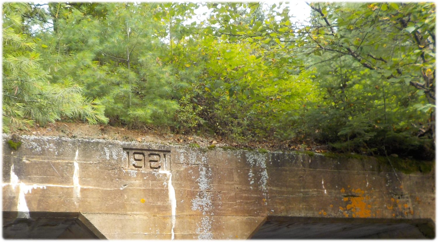
There are two tunnels to choose, but when we went the north one was blocked with logs. I've read other reports saying the south tunnel is blocked, so perhaps it changes over time.
We coasted through the tunnel without problems, it is short enough that we barely paddled. Katherine was a bit nervous because it was darker, but that was our only complaint.
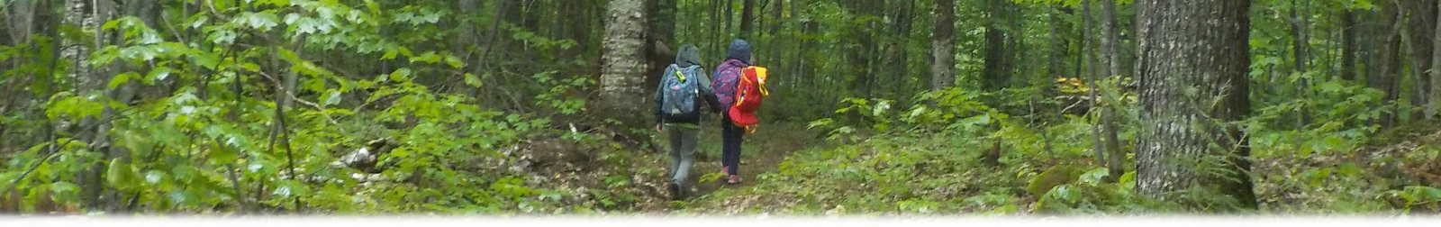
First Portage
We arrived at the 230m portage from Aura Lee to Laurel Lake at about 1:30pm. Allowing for the lunch break, it took about 2 ½ hours of paddling to go about 10km. This works out to about 4km/h, which is what we'll use as expected paddling speed when planning future trips.
In the trip that we originally planned, this would have been our only portage. I choose it as the shortest portage from Cedar that goes somewhere interesting. The goal was to give some portaging experience so we would be better able to plan future trips, without being so onerous as to kill everyone's enthusiasm. This was a great portage in that regard. Katherine and William were done their first trip and back to the start before I finished getting everything out of the canoe!
During this portage we were passed by the couple that we met while leaving our lunch stop. I was wondering if they would wind up taking "our" site on Laurel. We never saw them again though; I think they single-carried and then passed right through Laurel. We took three trips and it took us about forty minutes.
Picking our Site
There wasn't much doubt about which site we would choose. Our trip the previous fall convinced William that he likes island sites, and there was one available on Laurel, so we took it, arriving at about 2:20pm.